The mountains, in your pocket.
A terrain map with slope angles, every outing recorded, and a plan so someone knows when you should be back. Free.
Download the appSee the terrain before you go.
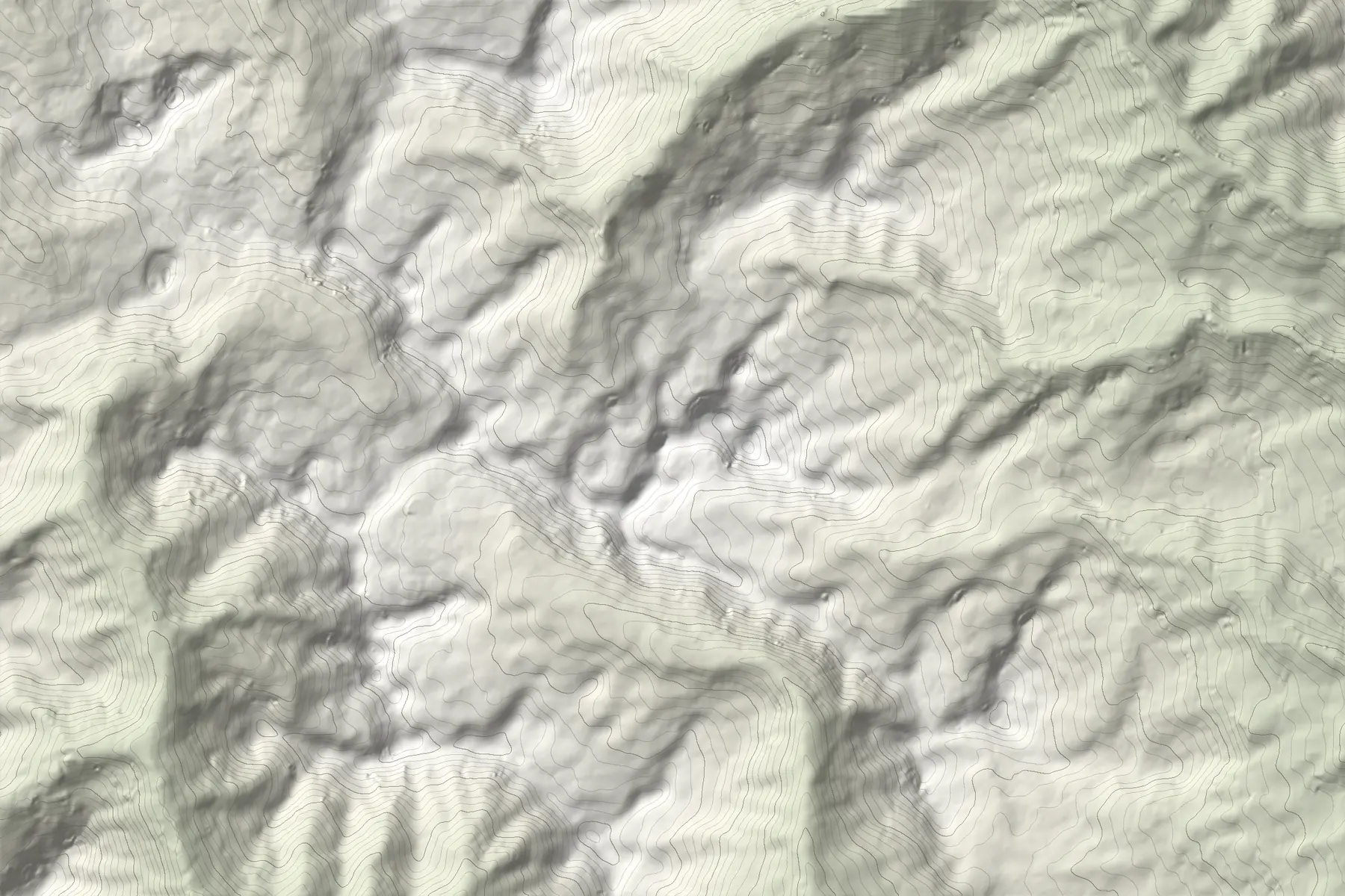
This is Gjeravica, 2,656 m, with real elevation data. Move over the map to read elevation and slope, or switch on the slope layer.
 GjeravicaStartMove over the map4.2 km · ↑1,090 m · 4:10 h
Elevation from Copernicus 30 m, contours and hillshade.
27° to above 45°, where avalanche terrain starts.
Distance, ascent and an estimated time for every route.
Save the map and your route before you lose signal.
Built for every mountain. Starting in the Balkans.
Real terrain, the slope of every face and what to know before you go. The map is live in the Western Balkans today; Europe is next, then the rest of the world.
Every outing, recorded.
GPS even without signal. Distance, ascent, moving time and the summits you reach, kept with you.
The profile, before the first step.
Move along the profile and switch sport: the time is worked out as in the app, by DIN 33466.
Summit 2,657 mSample route.
Someone knows when you should be back.
Leave a trip plan before you go. If you don’t check in, Traverse raises the alarm step by step, and tells you exactly what it did.
- 01 — 04Not back?
The app asks you to check in or extend the plan.
- 02 — 04Your emergency contact
Gets an SMS with the plan and your last known position.
- 03 — 04Rescue organization
If you shared the plan with a verified rescue organization, its staff see it.
- 04 — 04All clear
Everyone who was alerted gets a message that you are back.
A partnership with mountain rescue is in progress. Until then, trip plans and SOS alert your emergency contact.
Hold for 3 seconds. Each status says only what we know.
- Prepared
No data: an SMS to 112 and your contact opens with your coordinates. You send it.
- Sent
Reached our server; responders and your contact were notified. Nobody has confirmed yet.
- Acknowledged
A responder confirmed they have it. Only then does the app say so.
Find the people you go out with.
Groups, partners and events, from Saturday hikes to trail clean-ups.
Group trips, courses and clean-ups, with sign-up.
Always with their source, and they expire after 7 days unless someone confirms them.
From verified clubs and mountain rescue, for the area you are in.
Publish events and official notices, and see when someone needs help.
For organizations