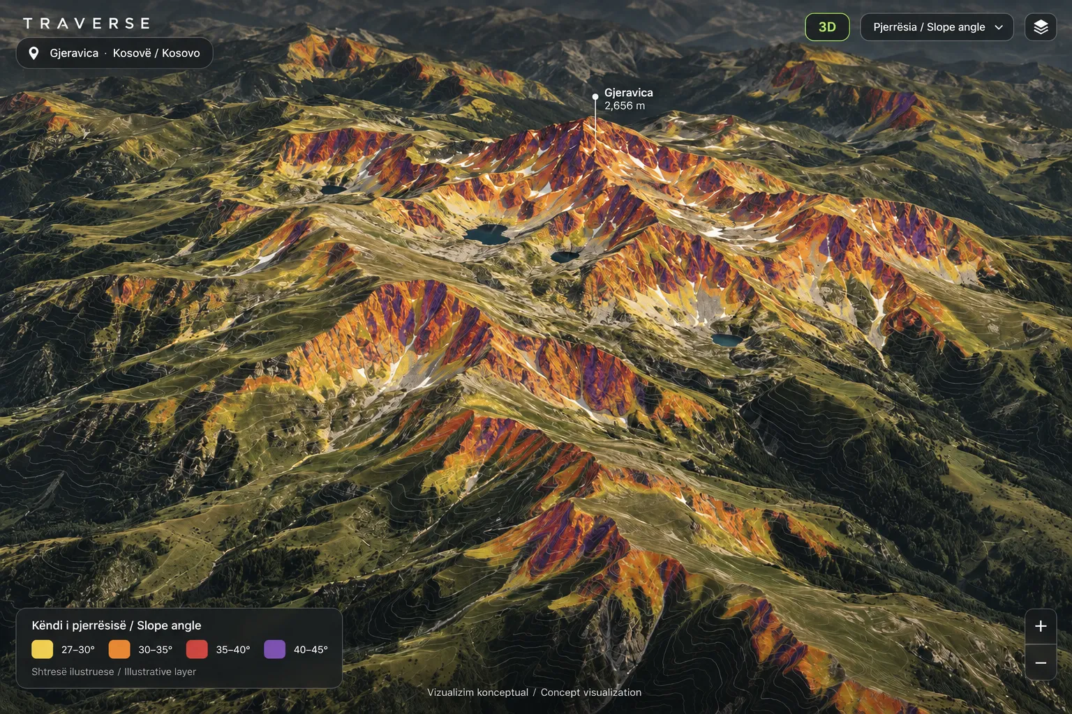
Terrain render · concept. The live map uses real elevation; this picture is an illustration of the look.
/ What it does
Built for reading slopes.
For hiking, ski touring and mountaineering. Nothing here replaces judgement, local knowledge or the official bulletin.
Real terrain in 3D
Real elevation at true scale. Tilt and turn the map to see a ridge the way you would see it from the valley. Satellite or topo, your choice.
Slope angle and aspect
Switch on slope shading from 27° to 45°+ and the direction each face looks. Available for Kosovo, Albania and the Sharr range today. It describes terrain, not today’s snow.
Sun and shade by time of day
Pick a date and a time and see which slopes face the sun, with sunrise and sunset. It shows each slope’s own direction, not shadows from other mountains or cloud.
Plan and fly over
Drop stops on the map to plan a trip with distance, climb and an estimated time, then fly a camera along the route in 3D. The full flyover is part of Pro.
Routes, peaks and huts
Public trails, peaks and huts from open map data across the area we cover, plus routes members record and share.
Share what you see
A link opens the same view with the same layers, the sun position and your plan.
/ Try it
The slope layer, on real terrain.
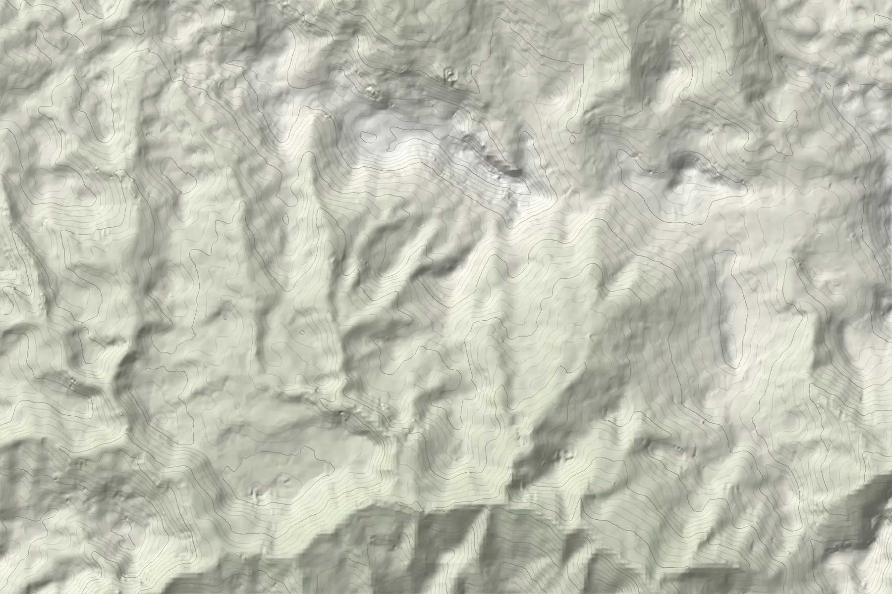
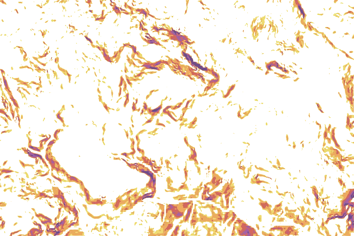
Rugova above Peja. Toggle the layer and move over the map to read elevation and slope. This is a pre-rendered view of real elevation data, not the live 3D map.
HajlaMove over the map
27°30°35°40°45°+Terrain, not today’s avalanche danger.Elevation: Terrain Tiles (EU-DEM, SRTM), smoothed, so small cliffs and gullies are softer than in reality. Contours every 50 m.
Yes. The 3D map is free with a Traverse account, with no ads. An optional Pro plan adds things like whole offline regions and the full 3D flyover.
Do I need an account?
To open the 3D map, yes: a free account, with a code sent to your email. To look at a GPX file in 3D without any account, use the free GPX viewer.
Where does it work?
The 3D satellite and topo map works worldwide. The slope-angle and aspect layers, and our trail and hut data, cover Kosovo, Albania and the Sharr range today. More regions are planned and will be listed on the FATMAP alternative page when they are live.
Is it a topographic map?
There is a topo style with contour lines and trails, and a satellite style, both draped over 3D terrain. The map is made for reading terrain, not for navigating by on its own: carry a proper map and check conditions before you go.
Does it work on a phone?
Yes, in a modern phone browser. The Traverse app adds recording, offline maps, trip plans and SOS.
Does the sun and shade layer show shadows?
No. It shows which slopes face the sun at the time you pick. Shadows cast by other mountains, trees and cloud are not shown, so a slope behind a ridge can be in shade where the map shows it lit.
Does the map tell me whether a route is dangerous?
No. Ratings and slope colours describe terrain, not today’s snowpack or weather. Check the official avalanche bulletin and local conditions before you go.
 HajlaMove over the map