
The highest point of two countries
Korab rises to 2,764 m on the border between Albania and North Macedonia, with a prominence of 2,169 m. Wikipedia notes that it is one of only two summits in Europe that is the highest point of more than one country; the other is Mont Blanc.
The Albanian side lies in Korab-Koritnik Nature Park, proclaimed in December 2011; since a 2022 decision of the Council of Ministers it covers about 53,850 ha of Dibër and Kukës counties. The Macedonian side lies in Mavrovo National Park, first proclaimed in 1949.
Korab, Korabi, Golem Korab
In Albanian the summit is Maja e Korabit and the mountain Mali i Korabit, or simply Korabi; in Macedonian it is Golem Korab (Голем Кораб), Great Korab. In English it is usually Mount Korab or just Korab.
Getting to Radomirë
The usual way up from the Albanian side starts in the village of Radomirë, at about 1,250 m, about 40 km by road from Peshkopi; SummitPost recommends four-wheel drive and high ground clearance for the road. From Radomirë a direct path climbs to the summit ridge, and a longer one through the meadows of Fusha e Korabit takes one to two hours more. The last stretch below the summit runs on the North Macedonian side of the border.
Albania Travel Guide says Korab was closed to visitors for decades because of the border, needed a special permit in the 1990s, and is open now. Sources disagree about the North Macedonian side: Virtual Mountains says an ascent from there needs a permit from North Macedonia’s interior ministry, while SummitPost’s page on the Korab massif says no permit is needed and suggests checking in with the border police. Check the current rules before you go.
Our route up Korab
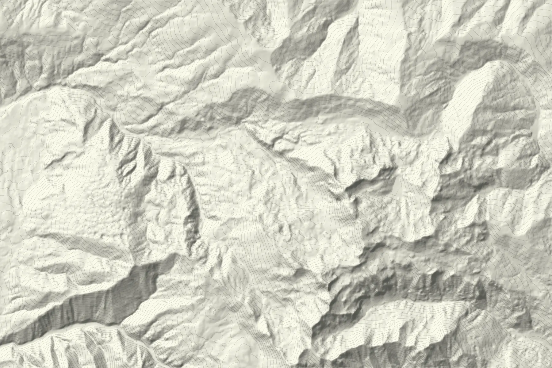
Korab from Radomirë follows mapped OpenStreetMap trails up the valley to the ridge south of the summit, then north along the ridge to the top: 8.3 km and about 1,510 m of climbing one way. Our 30 m elevation model reads about 2,730 m at the top because it rounds off a sharp summit; the line itself reaches it. About 170 m of the line runs on the North Macedonian side. It has not been walked by our team.
All hiking routes in Kosovo and Albania
Route figures: Trail data © OpenStreetMap contributors, ODbL (via Overture Maps). Elevation produced using Copernicus WorldDEM-30 © DLR e.V. 2010-2014 and © Airbus Defence and Space GmbH 2014-2018 provided under COPERNICUS by the European Union and ESA; all rights reserved (licence). The organisations in charge of the Copernicus programme by law or by delegation do not incur any liability for any use of the Copernicus WorldDEM-30.
When to go
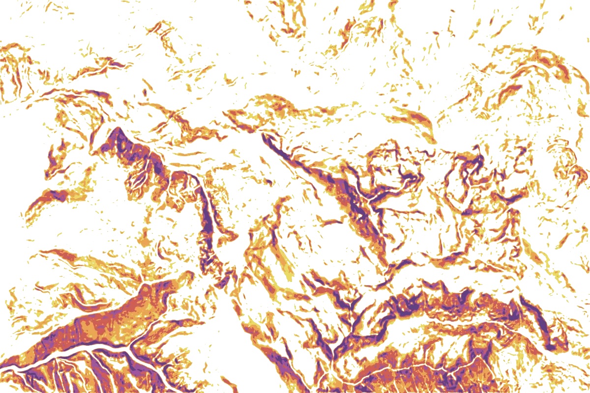
Our route is set for June to October. Snow can lie on the upper slopes into June, and storms build quickly over the ridge on summer afternoons. The ground is long and steep rather than technical, but it is high and exposed, so start early and leave a trip plan. Switch on the slope layer above to see where the ground reaches 30° and more.
Koritnik, the other half of the park
Korab-Koritnik Nature Park also takes in Koritnik, further north on the border between Albania and Kosovo. Our Maja e Pikëllimës line climbs its high point from Rapçë on the Kosovo side, near Dragash.