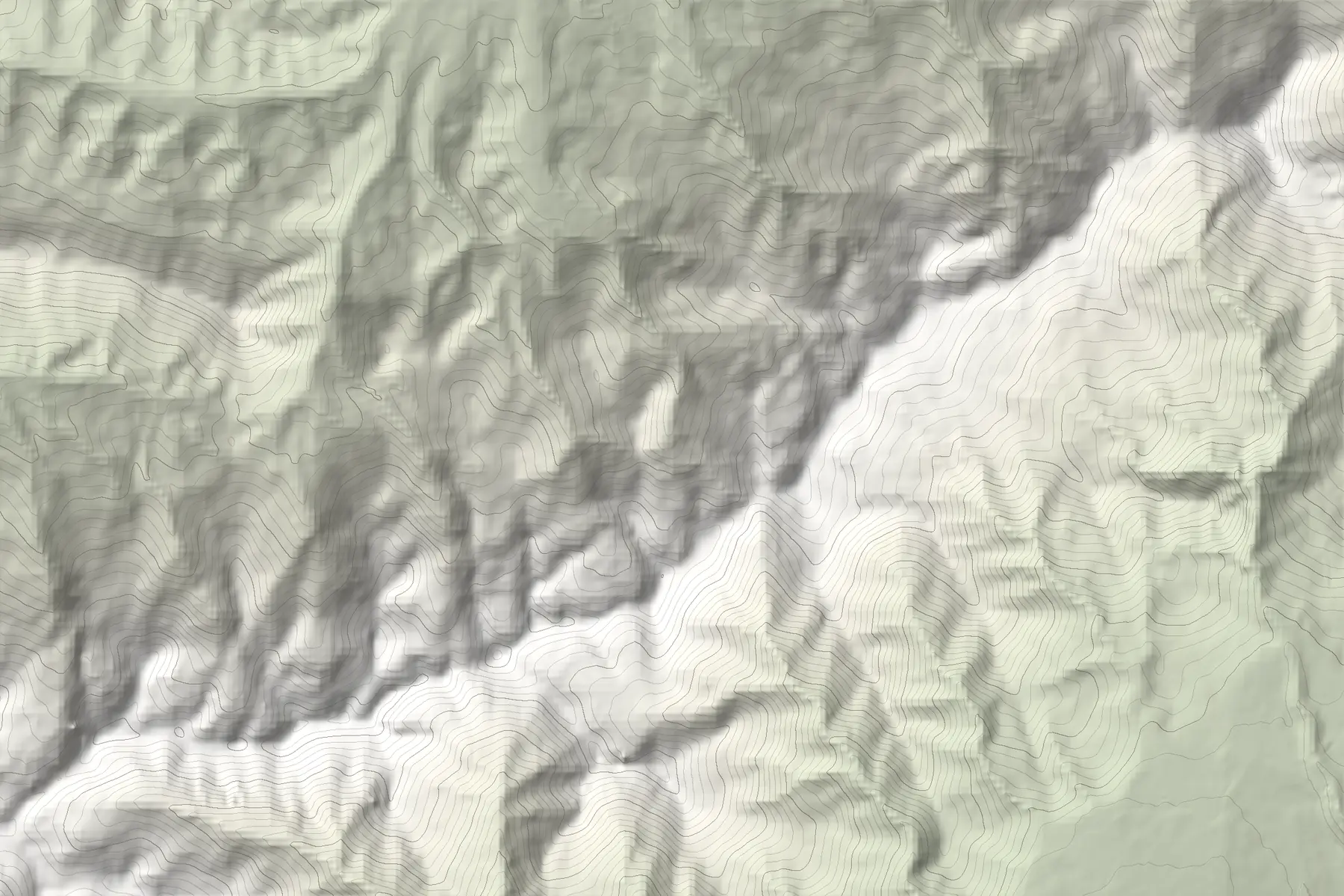
Overview
The Sharr Mountains (Malet e Sharrit, Šar planina) stretch across Kosovo, North Macedonia and Albania. The highest summit, Titov Vrv (originally Golem Turčin, in Albanian Maja e Turçinit), reaches 2,748 m in North Macedonia, about 21 km north-west of Tetovo.
On the Kosovo–North Macedonia border, Velika Rudoka (Maja e Rudokës) was measured in 2018 at 2,660.4 m, which makes it the highest point of Kosovo by that survey.
Luboten, 2,498 m
Luboten (Ljuboten) stands apart from the main ridge at the north-eastern end of the range, on the border, with most of the mountain on the Kosovo side. It is visible from both Prishtina and Skopje. A well-known route climbs it from Staro Selo on the North Macedonian side: about 20 km and 1,600 m of ascent, with a hut at about 7 km.
Two national parks
In Kosovo, Sharr National Park was first proclaimed in 1986 and extended in 2012 to about 53,500 ha across Kaçanik, Shtërpcë, Suharekë, Prizren and Dragash. In North Macedonia, Šar Planina National Park was created in 2021 and covers about 62,700 ha.
The range gave its name to the Šarplaninac, a livestock guardian dog you may still meet with flocks on the high pastures. Give herds a wide berth.
Brezovica, Prevalla and winter
Brezovica, above Shtërpcë, has lifts to about 2,200 m. Prevalla, a mountain village at about 1,800 m between Prizren and Brezovica, is a common start for summer hikes and winter tours.
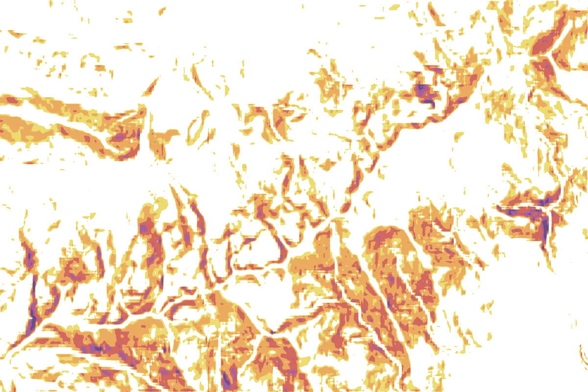
Much of the ridge is avalanche-prone in winter and spring, and there have been fatal avalanches around Brezovica, including in February 2024. Use the slope layer to see which faces reach 30° and steeper, and check current conditions locally: slope describes the terrain, not the day’s danger.