
One range, many names
The Accursed Mountains are called Bjeshkët e Nemuna in Albanian and Prokletije (Проклетије) in Montenegrin and Serbian, and are also known as the Albanian Alps, Alpet Shqiptare. Bjeshkët e Nemuna and Prokletije both mean the cursed or accursed mountains; where the name comes from is disputed, and several legends try to explain it. In English you will find the range under both Accursed Mountains and Albanian Alps.
Where they are
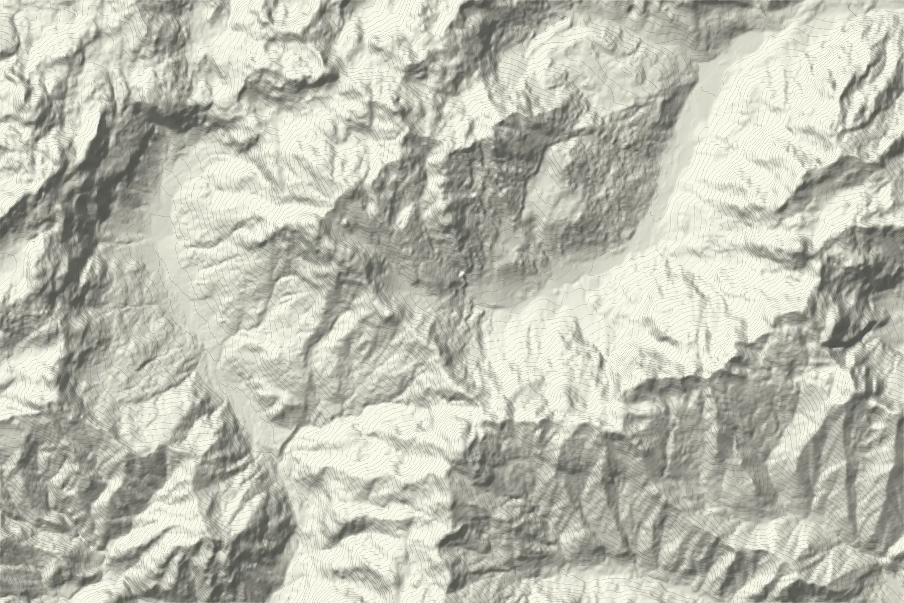
The range is the southernmost part of the Dinaric Alps. It runs from near Lake Shkodër along the border between Albania and Montenegro and on into western Kosovo, with the Drin and Valbona rivers along its southern edge. Maja Jezercë, 2,694 m, between Theth and Valbona, is the highest summit of the range and of the whole Dinarides, with a prominence of 2,036 m.
In Kosovo the range rises to Gjeravica, 2,656 m, above Junik and Deçan, and to Hajla above the Rugova Gorge. In Montenegro its highest summit is Zla Kolata, about 2,534 m, which is also the highest point of Montenegro. The Peaks of the Balkans trail loops through all three countries.
Theth
Theth lies in a high valley in the mountains north-east of Shkodër. Its landmarks are the Catholic church of 1892, Kulla e Ngujimit, a stone tower house that served as a refuge in times of blood feud, and the Grunas waterfall, about 25 to 30 m high and 45 minutes to an hour on foot from the church. Down the valley, Syri i Kaltër, the Blue Eye of Theth, is a deep blue pool at Kaprre: our Theth to the Blue Eye line walks there from the church.
The road from Shkodër over the Qafa e Thorës pass is now asphalted, and minibuses (furgon) take about two to two and a half hours. The pass road can be closed by snow in winter, so check before you go outside summer.
Valbona
The Valbona valley, 25 to 30 km north-west of Bajram Curri, was protected as a national park in 1996, with four villages inside it: Dragobi, Valbonë, Çerem and Rragam. The road up the valley ends at Rragam. It is reached by road from Bajram Curri, or from Shkodër by the Lake Koman ferry from Koman to Fierzë and a transfer up the valley.
Theth to Valbona over the pass
The best-known day walk in the range crosses the Valbona pass, at about 1,760 to 1,800 m depending on the source, between the two valleys. It is also the first stage of the Peaks of the Balkans. Snow can block the pass until late May. Guides disagree on which direction is more common; ferry travellers often cross from Valbona to Theth. Our line, with its elevation profile and figures, is on the Theth to Valbona page.
Maja Jezercë
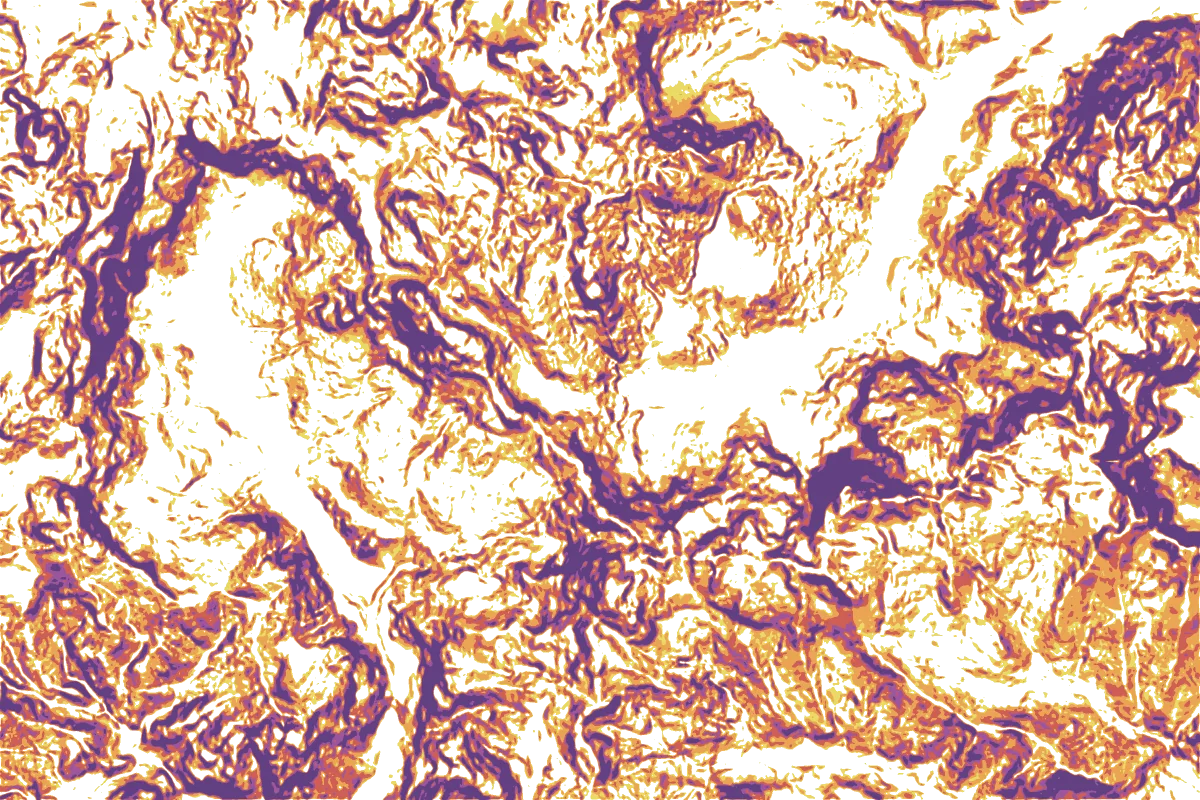
Maja Jezercë rises more than a hundred metres above the summits around it. The usual routes start in Theth and Valbona, and in Vusanje on the Montenegrin side. It is a mountaineering objective rather than a walk, and we do not publish a route to its summit; switch on the slope layer on the map above to see how much of the ground around it is steeper than 30°.
Three countries, three national parks
In Albania, Theth National Park and Valbona Valley National Park were joined with the Gashi nature reserve in January 2022 to form the Alps of Albania National Park. In Kosovo, Bjeshkët e Nemuna National Park was created in 2012 and covers about 630 km², including Gjeravica and Rugova. In Montenegro, Prokletije National Park, created in 2009, covers about 166 km² in the municipalities of Plav and Gusinje, including the Grbaja and Ropojana valleys.
Our routes in Theth and Valbona
Our lines follow mapped OpenStreetMap trails and have not been walked by our team. For the Kosovo side of the range, see Gjeravica and Rugova.
- Theth to Valbona11.4 km · 1,380 m up* · Demanding · June to October
- Theth to the Blue Eye8.1 km one way · 260 m up · Moderate · May to October
* Heights not smoothed yet: the climb is probably too high. Each route page gives a rough estimate.
All hiking routes in Kosovo and Albania
Route figures: Trail data © OpenStreetMap contributors, ODbL (via Overture Maps). Elevation produced using Copernicus WorldDEM-30 © DLR e.V. 2010-2014 and © Airbus Defence and Space GmbH 2014-2018 provided under COPERNICUS by the European Union and ESA; all rights reserved (licence). The organisations in charge of the Copernicus programme by law or by delegation do not incur any liability for any use of the Copernicus WorldDEM-30.
When to go
June to September is the main season; many guesthouses in Theth and Valbona open only in summer. Snow can lie on the passes into June, and thunderstorms build quickly over the high ground on summer afternoons. Guides note there are no cash machines in the villages, so bring cash.