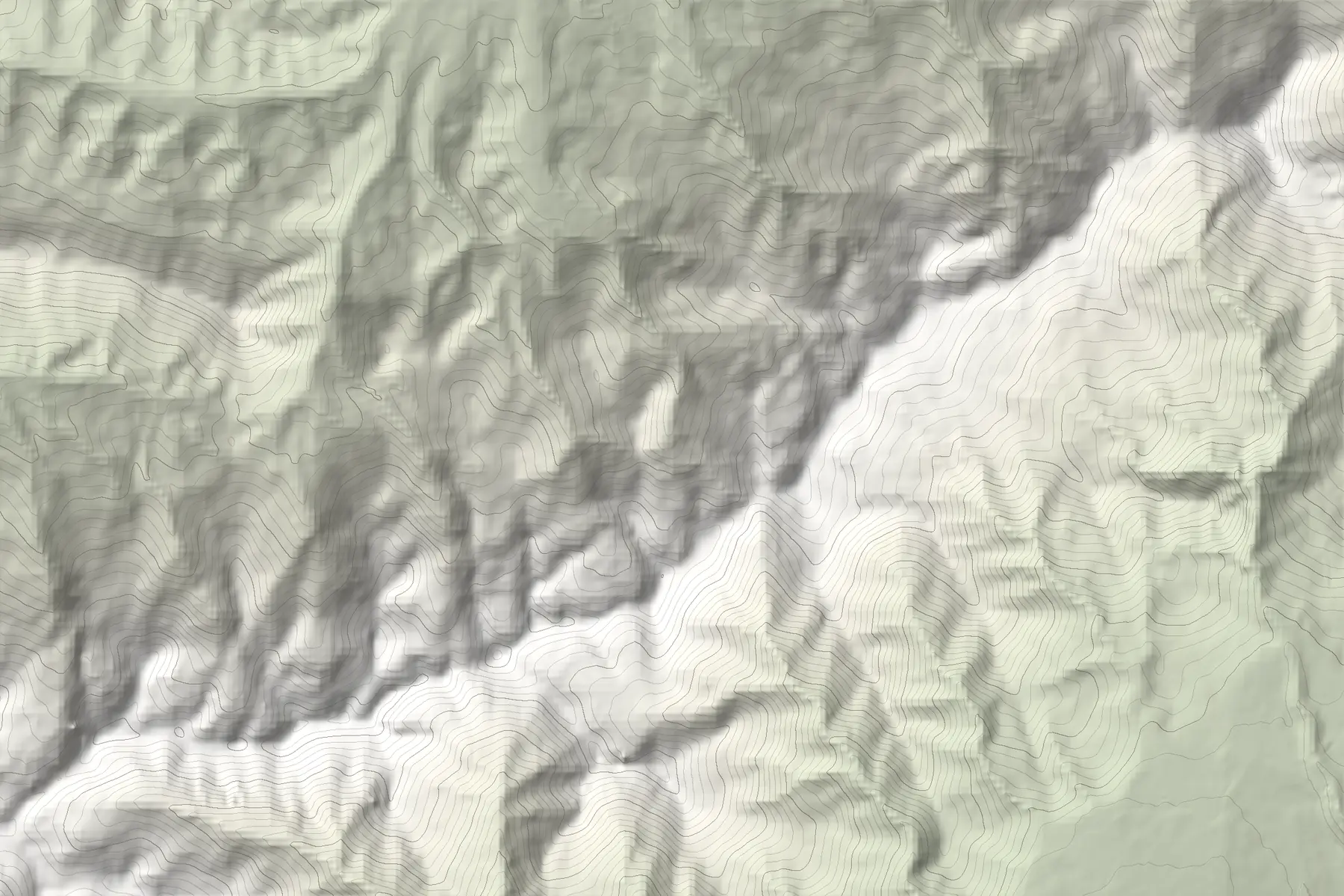
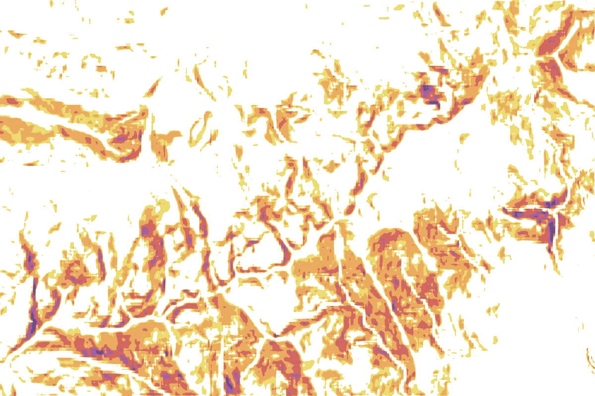
The Sharr Mountains above Brezovica, where much of the ridge is avalanche-prone in winter. Move over the map to read the slope under the cursor.
LubotenMain ridge ≈ 2,610 mMove over the map
27°30°35°40°45°+Terrain, not today’s avalanche danger.Elevation: Terrain Tiles (EU-DEM, SRTM), smoothed, so small cliffs and gullies are softer than in reality. Contours every 50 m.
How to read the bands
27–30°
Just below the classic avalanche range. Included because a smoothed elevation model reads short steep sections a little flatter than they are.
30–35°
Steep enough for slab avalanches. Many popular ski-touring slopes sit here.
35–40°
The range where slab avalanches most often release.
40–45°
Very steep: advanced terrain on foot and on skis.
45°+
Extreme. Sluffs often, and anything that releases runs into the terrain below.
What it cannot tell you
The map is built from a digital elevation model. It shows the shape of the ground well, but it smooths small features: short cliff bands, gullies, cornices and wind lips can be steeper than the colour suggests. It knows nothing about the snow.
Use it to choose terrain that fits the day, to spot slopes above your route, and to plan an alternative. Then look at the slope itself when you get there.
Slope is terrain, not danger
Avalanche danger depends on snowpack, weather and wind on the day. Check local conditions, travel one at a time on steep slopes, and carry transceiver, shovel and probe in avalanche terrain. If someone is caught, call 112.
Questions
What is a slope angle map?
A map that colours the ground by how steep it is. It helps you see avalanche terrain, and slopes too steep to walk or ski comfortably, before you go.
Why does avalanche terrain start around 30°?
Most slab avalanches release on slopes between about 30° and 50°; below 30° the snow rarely slides as a slab, and above about 50° it tends to sluff off in small amounts. Traverse starts its bands at 27° to allow for the smoothing of the elevation data.
Does a slope angle map show avalanche danger?
No. It shows terrain. Danger depends on the snowpack, recent weather and wind on the day. Use the map to plan, and check local conditions and any forecast before you commit to a slope.
What about slopes above me?
Avalanches run downhill: a flat valley floor below a 40° face is still in the runout. Look at what is above your route, not only what you stand on.
Is it free?
Yes. The slope layer is part of the free Traverse app. It is live in the Western Balkans today, with Europe next.