Overview
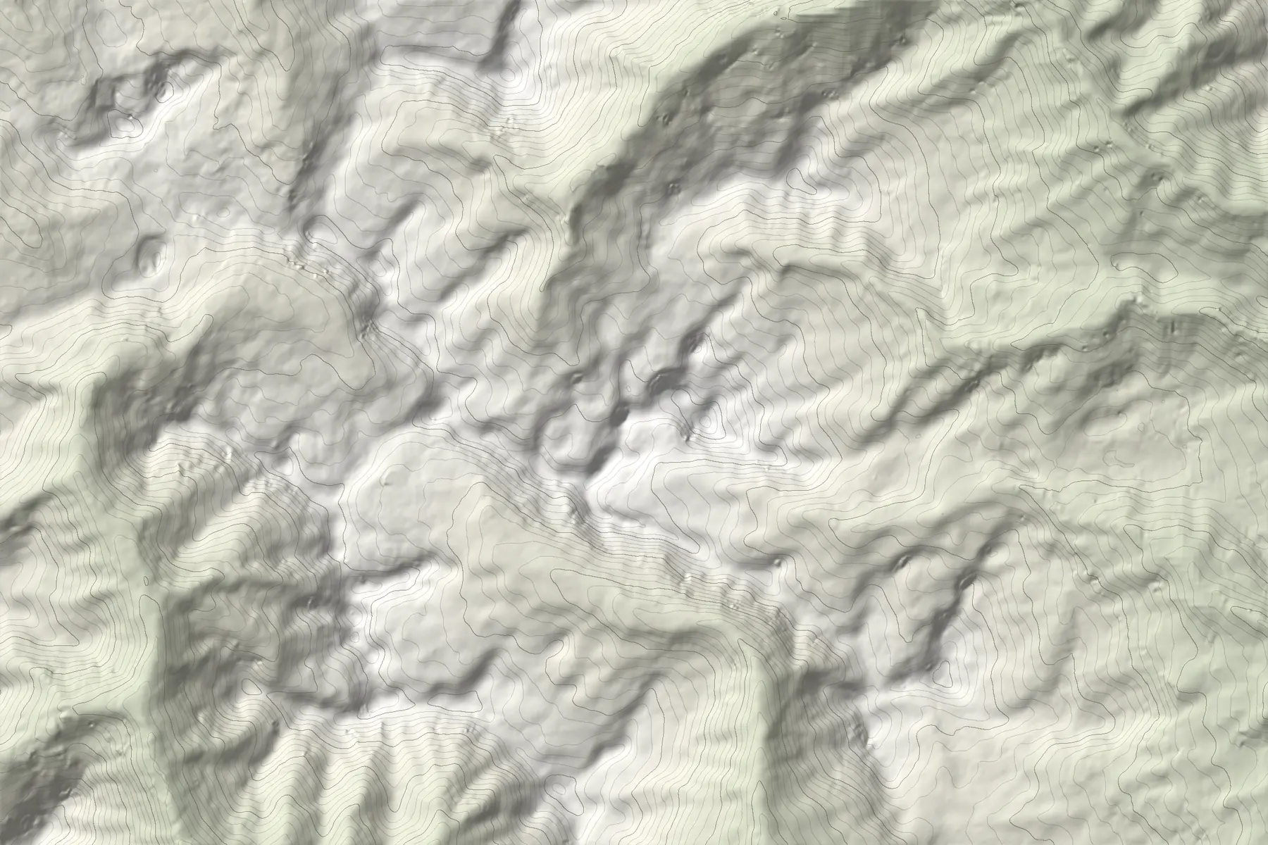
Gjeravica (Serbian: Đeravica) rises to 2,656 m in the Accursed Mountains, known locally as Bjeshkët e Nemuna and across the border as Prokletije. It is the second-highest peak of the range and sits in Deçan municipality, inside Bjeshkët e Nemuna National Park, established in 2012 and covering about 630 km².
It has long been cited as the highest point of Kosovo. A 2018 DGPS survey measured Velika Rudoka, on the Sharr border, about 4 m higher (2,660.4 m against 2,656.7 m for Gjeravica), and sources still differ on which to name.
Gjeravica Lake
Just below the summit lies Gjeravica Lake (Liqeni i Gjeravicës), a glacial lake at about 2,200 m, roughly 240 by 120 m. It is the source of the Erenik river, with several smaller glacial lakes nearby.
Getting there
The summit is usually approached from the Deçan or Junik side, through long valleys and high pastures. The Peaks of the Balkans trail also reaches it from Dobërdol in Albania, crossing into Kosovo at the Ali Peja pass, about 2,275 m.
Distances and times depend heavily on how far a vehicle can get up the valley roads, so plan the day on the map rather than on a single number: in Traverse, draw the route to see its distance, ascent and an estimated time.
When to go
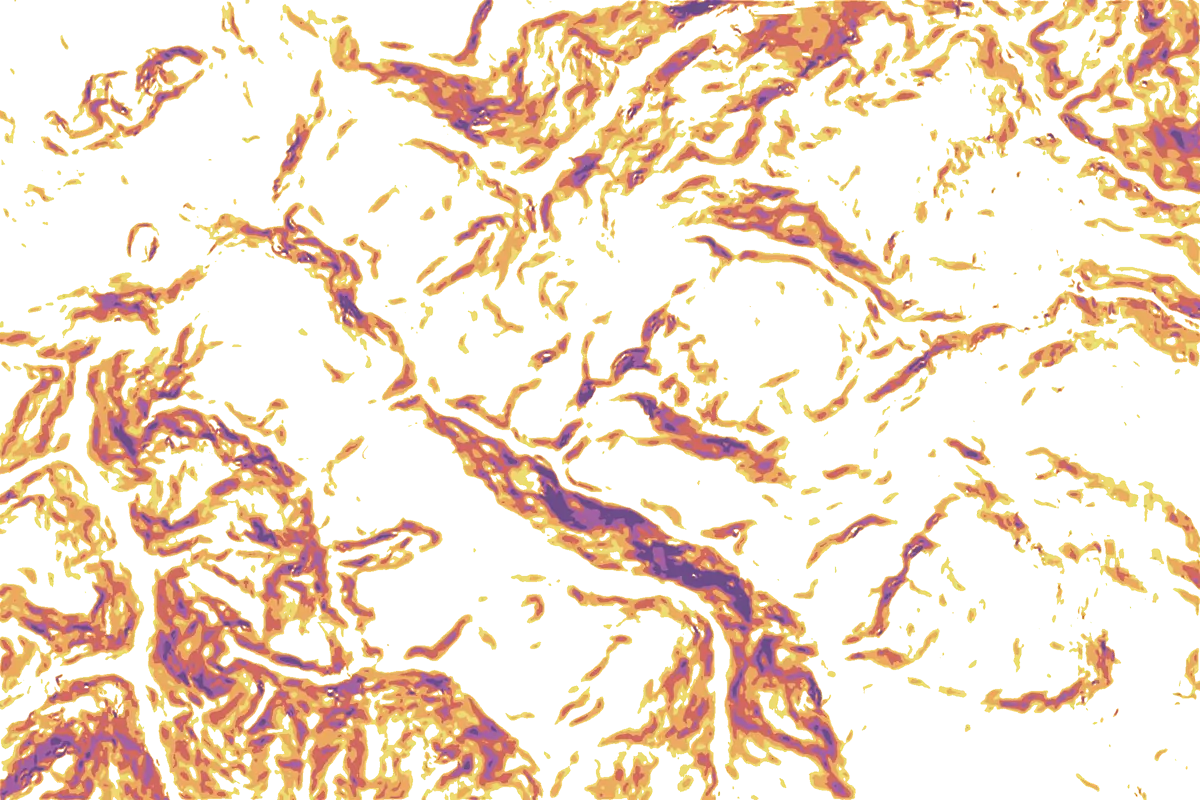
Summer and early autumn, roughly June to October, is the usual season. Snow can lie on north-facing slopes into early summer. In winter and spring the upper slopes are avalanche terrain: switch on the slope layer to see where the ground reaches 30° and above.