Overview
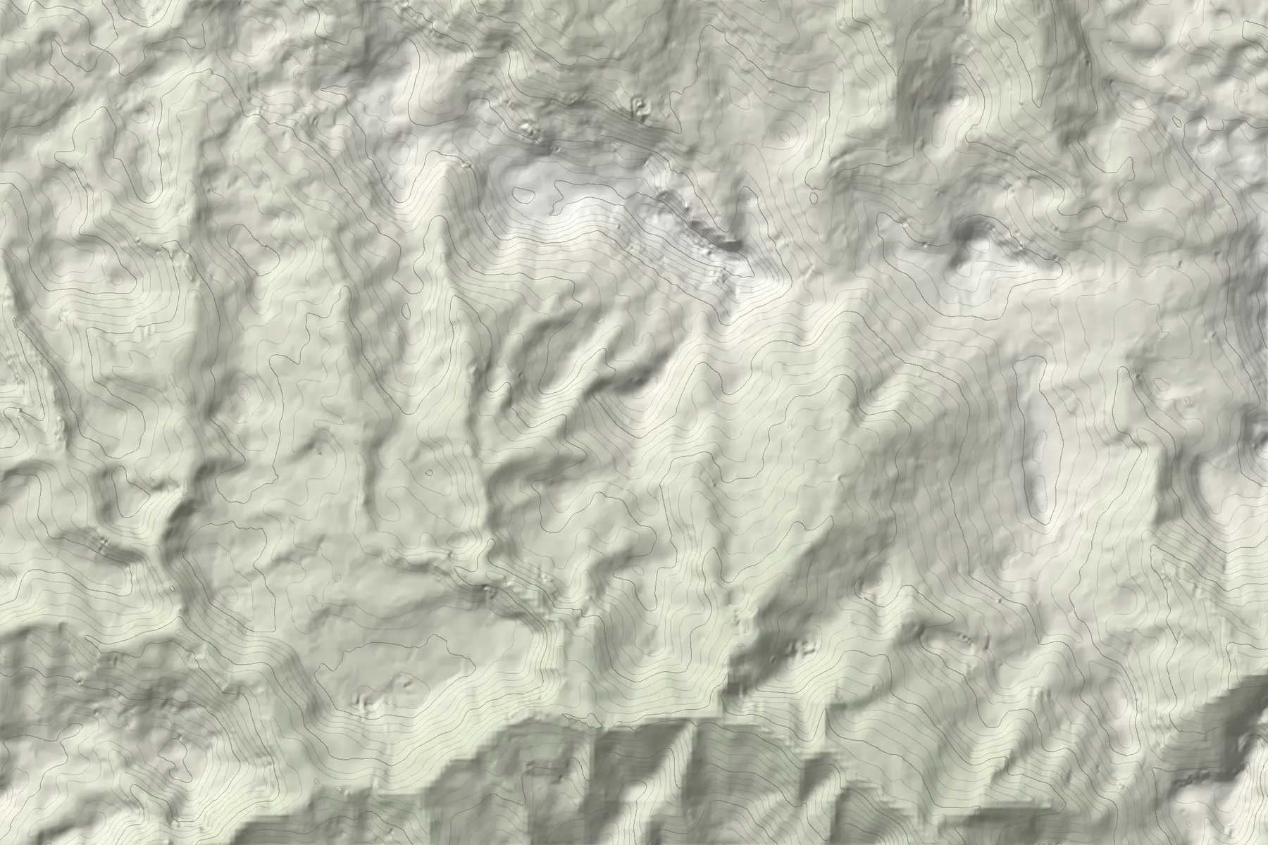
The Rugova Gorge (Rugovska klisura) runs west from Peja for about 25 km and is up to about 1,000 m deep. Above it, the Rugova highlands hold thirteen villages, among them Drelaj, Kuqishtë and Bogë, and high summer pastures. The area lies within Bjeshkët e Nemuna National Park.
Hajla, 2,403 m
Hajla rises to 2,403 m on the border with Montenegro and is the highest peak of the northern Accursed Mountains. Several approaches climb it from the Rugova valleys; most make a full day, and some parties split longer variants over two days.
The Kuqishta lakes
Above the village of Kuqishtë, a lake at about 1,680 m and the higher Liqenat lakes, at roughly 1,900 m (sources give 1,860 to 1,970 m), are an easy walk of about two hours apart.
Via ferratas
The gorge has four via ferratas between about 300 m and 1,000 m long. Via Ferrata Ari is 450 m, vertical, graded B and takes 2 to 3 hours.
Peaks of the Balkans
The Peaks of the Balkans trail, a 192 km loop through Albania, Montenegro and Kosovo opened in 2012, passes through Rugova and can be started in Peja. Hikers report that waymarking in Kosovo is inconsistent, so carry the route offline.
When to go
Hiking season runs from about May or June to October. In winter, Bogë has a small ski area (about 1,360 to 1,570 m) and the valleys are good for snowshoeing; the steep gorge walls and upper slopes are avalanche terrain.